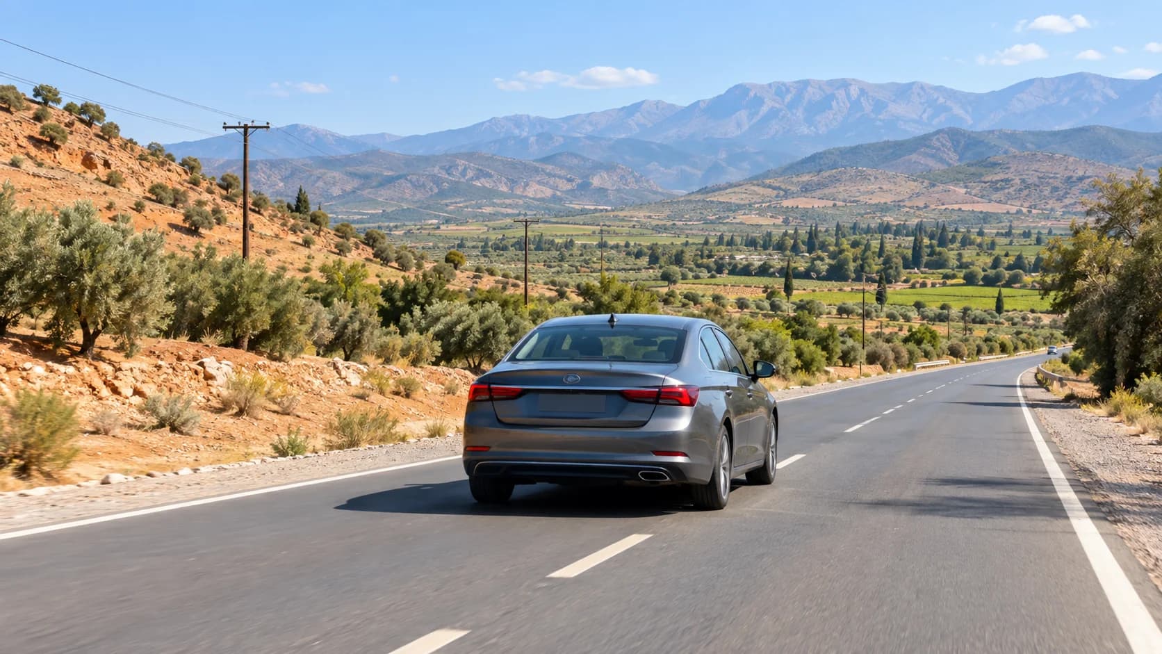









Driving in Marrakech is much easier when your phone, maps and backup plan are ready before you leave the hotel. Inside the city, GPS helps with traffic, roundabouts and parking. Outside Marrakech, especially toward the Atlas Mountains, Agafay, Ouarzazate or desert routes, navigation matters even more because mobile signal can change, road signs may be spaced out and the best route is not always the shortest one.
Table of Contents
- Why navigation matters more outside the city
- Best apps for driving in Morocco
- Downloading offline maps before you leave
- eSIM and data options for travelers
- Where you’ll lose signal: Atlas and desert
- Reading Moroccan road signs alongside GPS
- Finding fuel, parking and your riad with maps
- Backup navigation when the app fails
- Pre-trip navigation checklist
- FAQs about GPS navigation in Morocco driving
Why navigation matters more outside the city
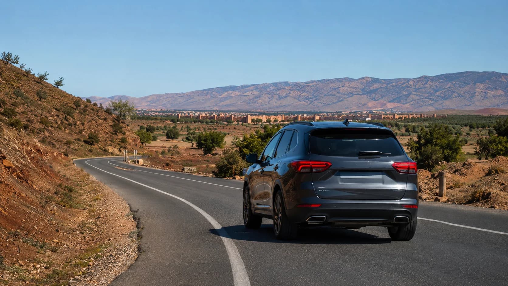
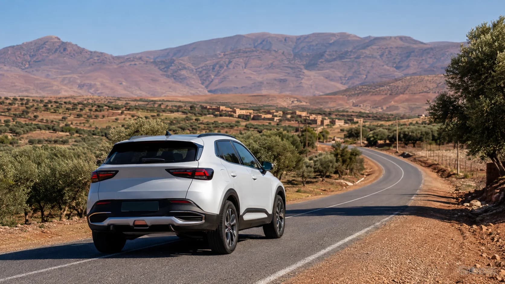
Marrakech itself is busy, but it is usually well covered by mobile data and navigation apps. The real challenge starts when you leave the city for Ourika Valley, Imlil, Ouirgane, Agafay, Aït Ben Haddou or Ouarzazate. Roads can pass through mountain bends, small villages and long open sections where a wrong turn may add serious time.
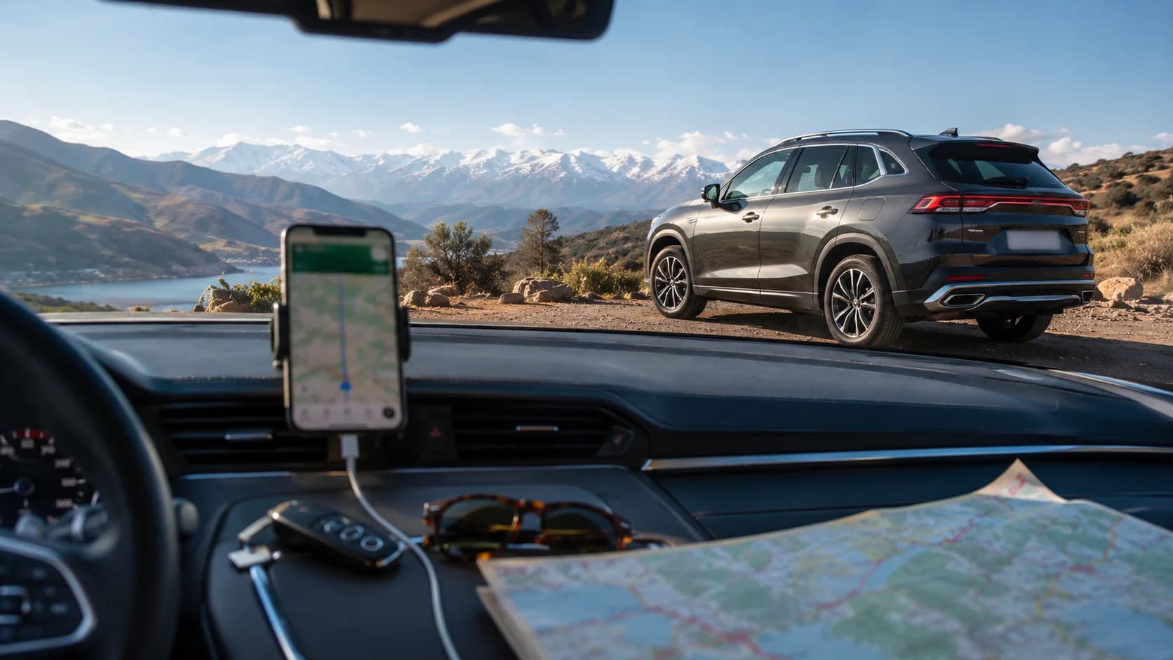
For GPS navigation Morocco driving, the safest habit is to plan the full route before departure, not once you are already on the road. Check the distance, the estimated driving time, fuel stops and the final parking point. Many mountain roads are scenic but slower than they look on the map.
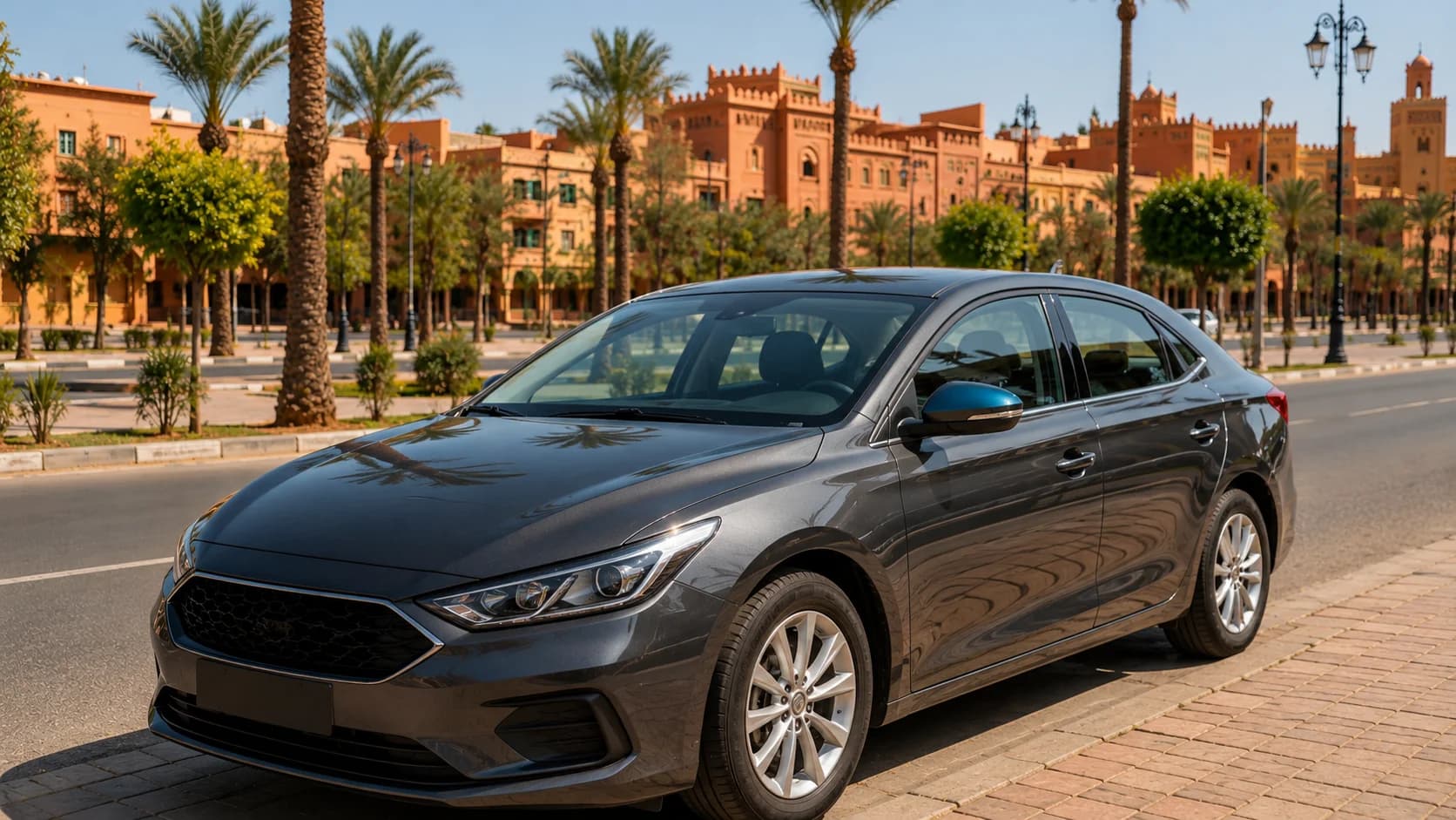
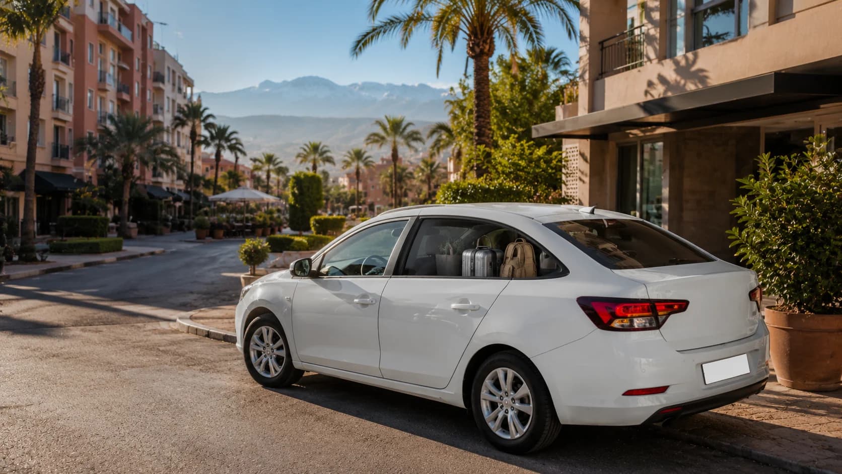
If your trip includes luggage, family passengers or mountain roads, an SUV rental Marrakech is often more comfortable for higher driving position and road confidence. For city driving, Essaouira routes or normal highway trips, a sedan rental Marrakech is usually practical, smooth and efficient.
Best apps for driving in Morocco
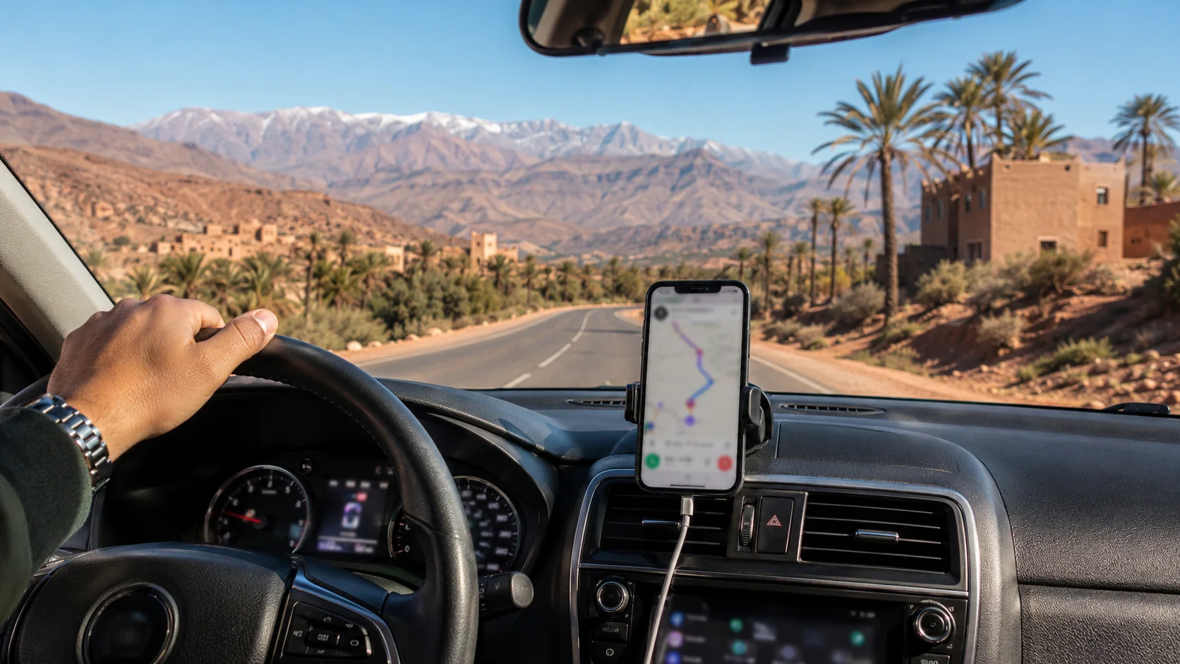
Google Maps is the easiest starting point for most travelers. It works well for main roads, hotels, fuel stations, restaurants and common day trip destinations. Google also lets users download offline map areas, which can guide you if the internet connection is slow or unavailable, as long as the full route is inside the downloaded map area. Offline driving mode does not include live traffic or alternate route updates.
Waze can be useful inside Marrakech and on busy roads because it focuses on live traffic, road alerts, rerouting and driver reports. It is strongest when you have mobile data and other active users nearby. Waze describes itself as a live map with real-time directions, alerts and automatic rerouting based on traffic and incidents.
Apple Maps is also improving for offline use. On iPhone, you can download a selected map area, manage offline maps and set automatic updates from the Maps app. This is useful for travelers who prefer Apple CarPlay or who already use Apple Maps daily.
For Morocco road trips, the best setup is simple: use Google Maps as your main app, Waze for traffic in Marrakech, and one offline backup map saved before the trip.
Downloading offline maps before you leave
Do not wait until you are already in the mountains to download maps. Use hotel Wi-Fi or airport Wi-Fi and save the areas you need before departure.
For Marrakech trips, download at least:
Marrakech city and airport area,
Marrakech to Ourika Valley,
Marrakech to Imlil or Ouirgane,
Marrakech to Agafay Desert,
Marrakech to Essaouira,
Marrakech to Aït Ben Haddou and Ouarzazate if you plan a longer drive.
On Google Maps, choose “Offline maps,” select your own area, adjust the box and download. Google notes that offline maps can still guide you when the connection is slow or unavailable, but live traffic and alternate routes are not available offline.
Before leaving, open the map once, check that your destination loads, and save important points such as hotel parking, fuel stations, meeting points and the rental return location.
eSIM and data options for travelers
An eSIM is useful if your phone supports it and is unlocked. You can activate mobile data before landing or shortly after arrival, then use maps, WhatsApp and translation apps without searching for a physical SIM shop. For driving, this saves time because you can message the rental team, share your location and receive route help immediately.
A local SIM can also work well, especially for longer stays. Morocco has several major mobile operators, and ANRT, the national telecom regulator, publishes sector information and telecom updates. Its 2026 sector update notes continued growth in Morocco’s internet market and 5G deployment.
For most visitors, the key is not choosing the “perfect” network. The key is having mobile data plus offline maps. Data helps with traffic, live rerouting and WhatsApp support. Offline maps protect you when signal drops.
Where you’ll lose signal: Atlas and desert
Mobile signal is usually good in Marrakech, along major roads and around many towns, but coverage can become weaker in mountain valleys, remote bends, desert-style areas and long rural sections. Coverage maps such as nPerf show 2G, 3G, 4G and 5G coverage by operator in Morocco and include separate city coverage pages, including Marrakech.
Expect possible weak signal around:
deep valleys in the High Atlas,
small mountain villages,
remote viewpoints,
parts of the Agafay Desert,
sections between mountain passes,
roads where cliffs or hills block reception.
This does not mean you cannot drive there. It means you should not depend only on live data. Download the map, charge your phone, keep the route open and avoid changing route randomly when the signal is weak.
Reading Moroccan road signs alongside GPS
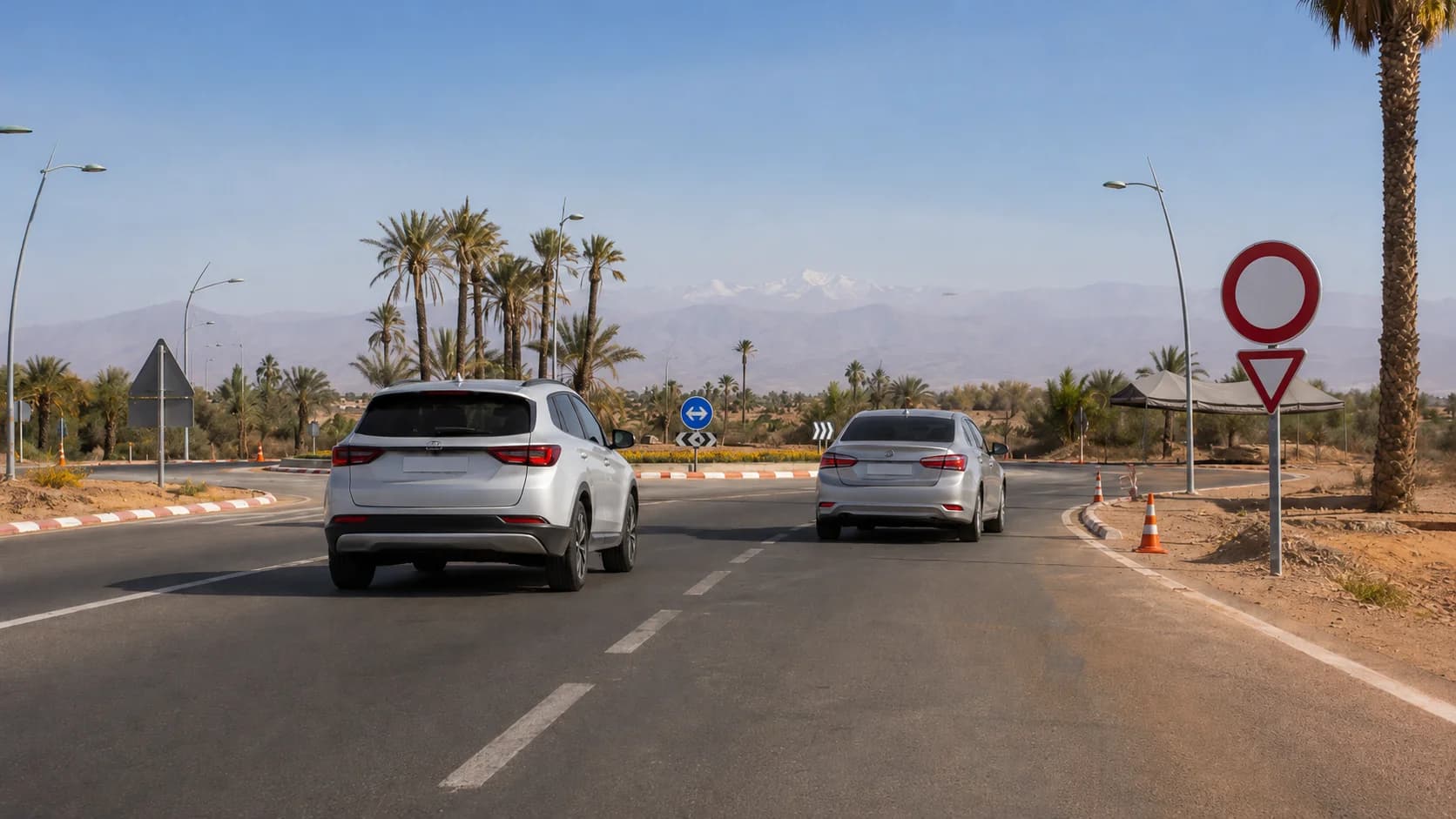
GPS is helpful, but do not follow it blindly. Moroccan road signs often show destination names, road numbers and directions to nearby towns. On main routes, signs are usually clearer than in small backstreets.
When driving from Marrakech, look for big destination names such as Essaouira, Casablanca, Agadir, Ouarzazate, Ourika, Asni, Tahnaout or Aït Ourir depending on your route. If the app suggests a narrow road and the road sign points to a wider main road, slow down and compare both options.
A good rule: for long-distance driving, prefer the main road unless the local rental team or your hotel confirms a smaller route is better. GPS sometimes chooses shortcuts that are fine for locals but stressful for visitors.
Finding fuel, parking and your riad with maps
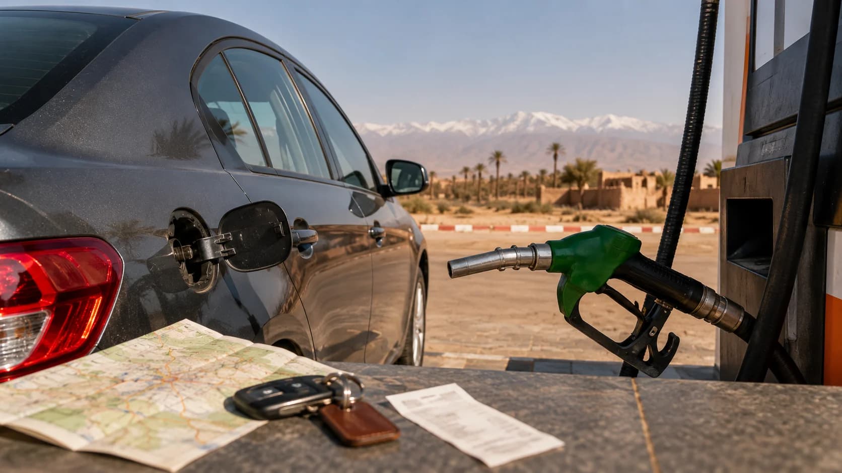
Use maps before the tank is low. In Marrakech and on main roads, fuel stations are easy to find. On mountain and desert-style routes, fill earlier than you think you need to. Search for fuel stations while you still have signal, then save one or two options along the route.
Parking needs extra planning. Many riads inside or near the Medina cannot be reached directly by car. The best method is to navigate to the closest parking area or meeting point, not to the riad door. Ask the riad for the exact parking name, then save it in your map app.
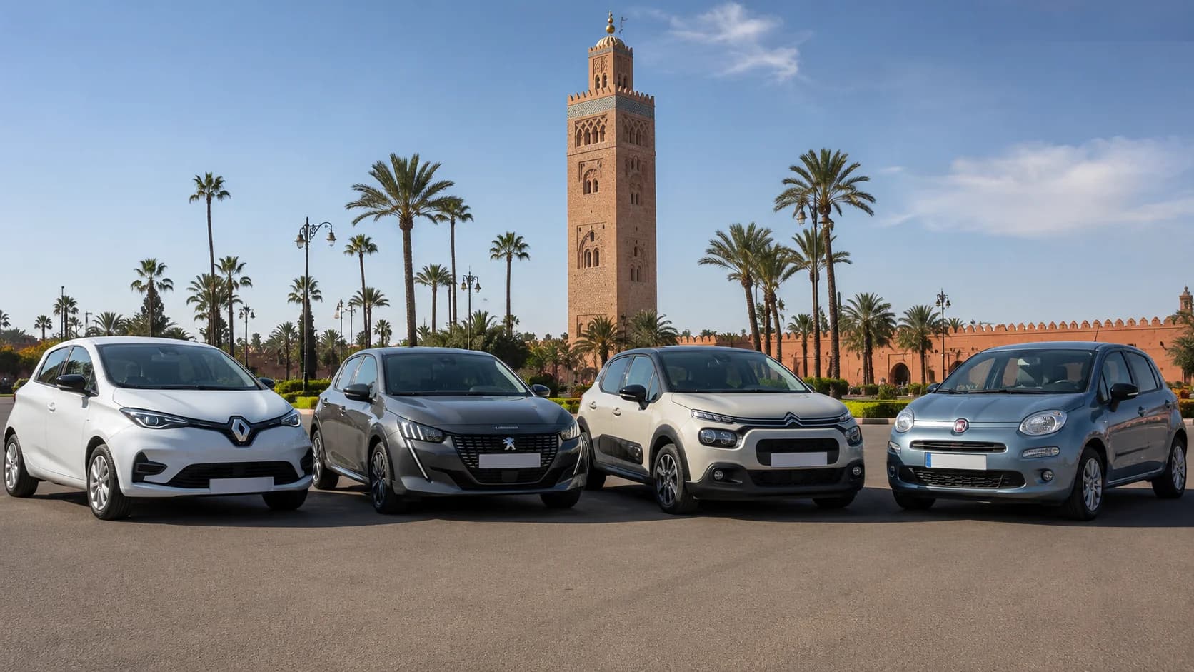
For budget trips inside Marrakech, a cheap car rental Marrakech can work well if you are mainly using the car for airport pickup, hotel areas and simple day trips. For Atlas routes or longer drives, choose based on comfort, road type and luggage space.
Backup navigation when the app fails
Every driver should have a backup plan. Take screenshots of the route summary, hotel location, rental return address and main stops. Save the destination in more than one app. Keep your phone charging while navigating because GPS drains battery quickly.
Also share your route with someone in your group before leaving. If you are renting with MarHire Car Marrakech, keep WhatsApp available so the team can help with location sharing, return points or route advice. This is especially useful if your riad is hard to reach or if GPS sends you toward a narrow Medina lane.
If the app sends you down a road that looks too narrow, rough or unsafe, do not continue just because the phone says so. Stop safely, turn around if possible and return to a main road.
Pre-trip navigation checklist
Before starting your Marrakech road trip, check these points:
Download offline maps for the full route.
Save your hotel, parking point and return location.
Charge your phone and bring a car charger.
Activate eSIM, local SIM or roaming data.
Open the route while you still have Wi-Fi or strong signal.
Save fuel stations on longer routes.
Ask the riad for the nearest car-accessible point.
Take screenshots of the route and address.
Keep WhatsApp ready for rental support.
Avoid unknown shortcuts on mountain roads.
FAQs about GPS navigation Morocco driving
Does Google Maps work well in Morocco?
Yes, Google Maps works well for most driving in Morocco, especially in cities, on highways and on popular tourist routes. For rural roads and mountain areas, use it with offline maps and road signs.
Should I download offline maps for Morocco?
Yes. Download offline maps before you drive outside Marrakech. Google Maps can guide you offline if your full route is inside the downloaded area, but live traffic and alternate routes are not available offline.
Do I need an eSIM or local SIM to drive in Morocco?
You do not strictly need one, but it is highly recommended. Mobile data helps with live traffic, WhatsApp support, fuel searches, hotel calls and rerouting.
Will I have signal in the Atlas Mountains?
Often yes near towns and main roads, but not everywhere. Valleys, bends and remote sections can have weak or no signal, so offline maps are important.
What’s the best navigation app for Marrakech?
Google Maps is the best all-round option. Waze is useful for live traffic and alerts inside the city. Apple Maps can be useful for iPhone users who download offline maps in advance.
Can rental cars come with a GPS device?
Some rental cars may offer a GPS device, but most travelers now use their phone. Ask before booking if you prefer a dedicated GPS unit.
How do I navigate to a riad inside the Medina?
Do not navigate directly to the riad door unless the riad confirms car access. Ask for the closest parking area or meeting point, then navigate there.
Is data expensive for tourists in Morocco?
Tourist data is usually manageable for normal map use, but prices change by operator and package. For driving, the safer choice is a data plan plus offline maps, not data alone.
What do I do if GPS sends me down a bad road?
Stop safely, avoid continuing into narrow or rough roads, and return to a wider road. Check the route again, compare with road signs and message your rental team or hotel if needed.
How do I find fuel stations on a long route?
Search for fuel before leaving the city and save stations along the route. Fill up early before mountain or desert-style sections, especially if you are driving far from Marrakech.
Ready to drive with confidence from Marrakech?
Plan routes like a local: pair your MarHire Car Marrakech rental with offline maps, mobile data and a simple backup plan. Whether you choose an SUV for the Atlas, a sedan for highway comfort or an economy car for city travel, you will be ready for Marrakech, the coast, the mountains or the desert with MarHire support one WhatsApp message away.